
Ines Werner · 2 October 2026
Havenway Foot Traffic Analysis Informs Updated Council Approaches to Path Erosion and Habitat Balance
Council planners along the Havenway have begun incorporating detailed erosion measurements collected from foot traffic monitoring programs into revised trail management frameworks, and these updates address the ongoing tension between public access and sensitive habitat zones along coastal routes in southern England. Data gathered over multiple seasons shows concentrated wear patterns at popular viewpoints and access points where visitor numbers peak during summer months, while researchers note accelerated soil loss on steeper inclines that receive regular use from walkers and cyclists alike.
Study Methods and Data Collection
Teams deployed sensor arrays and repeated photographic surveys at fixed intervals to track changes in path width and depth, and the resulting datasets reveal that certain segments experience up to three times the erosion rate of less frequented stretches. Observers recorded peak daily footfalls exceeding 800 individuals on weekends near key junctions, and cross-referencing with weather logs indicated that rainfall events following heavy use periods intensify surface runoff and sediment displacement. These measurements were compiled into reports presented to local authorities in October 2026, at which point council officers started drafting adaptive measures that prioritize both route maintenance and ecological safeguards.
Key Findings from the Erosion Assessments
Analysis identified several hotspots where vegetation cover had declined by more than 40 percent over a two-year span, and experts linked this reduction directly to repeated trampling rather than broader climatic factors alone. Soil compaction readings climbed steadily in high-traffic corridors, which in turn reduced water infiltration and increased surface flow during storms. One segment near a popular beach access point showed measurable widening of the path by 1.2 meters within 18 months, prompting immediate consideration of rerouting options that would distribute visitor pressure more evenly across less vulnerable terrain.
Council Responses and Strategy Adjustments
Local authorities responded by introducing timed access restrictions during peak erosion-risk periods and installing reinforced surfacing materials on the most affected stretches, while they also expanded educational signage that directs visitors toward established routes. Funding allocations for 2027 now include dedicated lines for habitat restoration alongside path repairs, and partnerships with environmental monitoring groups have been formalized to continue data collection on an annual cycle. These steps aim to maintain recreational opportunities without further compromising the stability of adjacent dune systems and grassland habitats that support protected species.
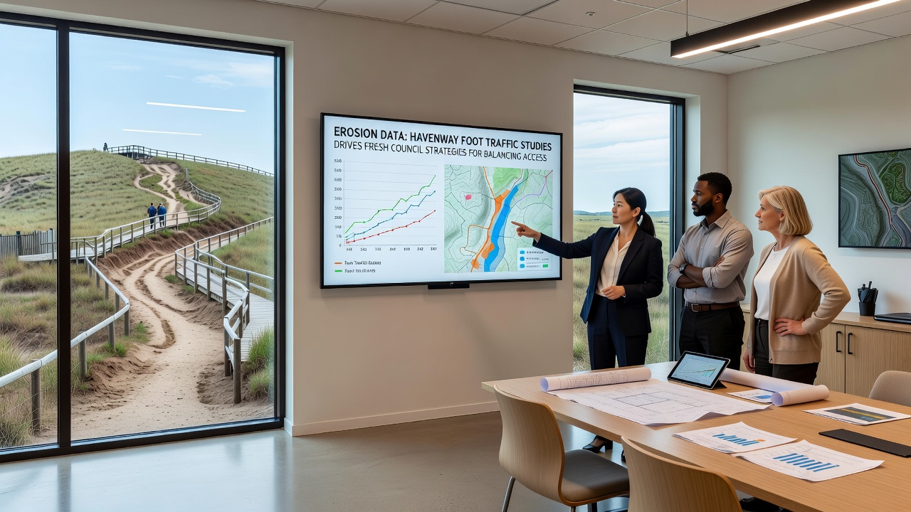
Balancing Access Needs with Habitat Requirements
Planners examined visitor survey responses alongside the erosion metrics to determine acceptable thresholds for trail capacity, and the combined information guided decisions on where to add boardwalks or hardened surfaces versus areas designated for seasonal closure. In regions where rare plant communities border the path, authorities have shifted emphasis toward guided tours and designated viewing platforms that limit off-trail movement. Such measures draw on established practices documented in coastal management programs elsewhere, including approaches outlined by the US Geological Survey in comparable shoreline environments and techniques described in reports from the Australian Department of Climate Change, Energy, the Environment and Water.
Implementation timelines set for the coming year incorporate regular review points so that adjustments can respond to new readings as foot traffic patterns evolve. Community groups have been invited to participate in monitoring workshops that train volunteers in basic data recording methods, thereby extending the reach of professional surveys without increasing operational costs. These collaborative efforts reflect a growing recognition that sustained protection of the Havenway corridor depends on integrating quantitative erosion evidence with practical access provisions that serve both residents and tourists.
Conclusion
Updated council strategies now rest on the foundation of foot traffic and erosion datasets that highlight precise locations requiring intervention, and ongoing collection will determine whether current interventions achieve the intended balance between trail usability and habitat integrity. As monitoring continues through subsequent seasons, authorities expect to refine their tactics further based on measurable outcomes rather than assumptions, ensuring that the Havenway remains both accessible and ecologically viable for years ahead.