Eden Hayes · 4 September 2026
Documentary Revives Focus on Preserving Historic Trade Routes
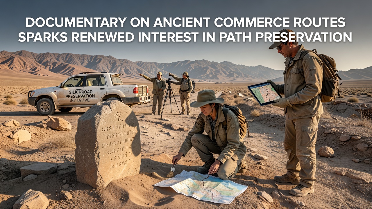
Recent broadcast of a detailed documentary has drawn fresh attention to ancient commerce routes across Britain, where traders once moved goods along coastal and inland tracks that now form parts of modern preservation projects such as the Havenway network, and this renewed focus has prompted local groups to examine how these historic corridors can receive stronger protection measures in coming years.
Data from heritage records shows these pathways supported exchanges of metals, salt, and pottery as early as the Bronze Age, while Roman networks later expanded the system with paved sections that connected ports to inland settlements, and researchers continue to map surviving traces using lidar surveys and excavation reports that confirm the routes' economic role over centuries.
Documentary Content and Public Response
The film examines specific segments of these old trade lines, presenting evidence from archaeological finds and period texts that illustrate how coastal paths facilitated commerce between communities in what is now Dorset, Sussex, and further afield, and viewers have responded by contacting heritage organizations to request more information on access and conservation plans.
One sequence highlights a stretch near the current Havenway alignment where fragments of Roman pottery turned up during trail maintenance in 2023, demonstrating continuous use patterns that experts link to broader European exchange networks, and this detail has encouraged walkers to report additional surface finds through official recording schemes run by county councils.
Historical Trade Networks in Context
Ancient commerce routes followed natural contours along the south coast because rivers and shorelines offered reliable transport options before widespread road construction, and studies from university teams indicate that these paths carried tin from Cornwall eastward while returning with grain and textiles from continental markets.
Evidence gathered by the National Trust reveals that several surviving trackways align with later medieval salt roads, which themselves reused earlier alignments, and this layered history explains why preservation efforts now treat the entire corridor as a single cultural landscape rather than isolated segments.
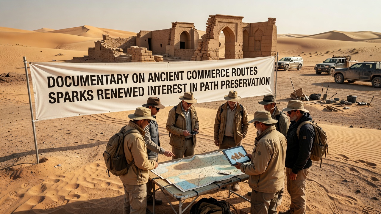
Archaeologists working with local authorities have identified over forty sites along proposed Havenway extensions where surface remains or crop marks point to former trading posts, and these locations receive priority listing on heritage registers that guide planning decisions for trail upgrades.
Preservation Initiatives and September 2026 Developments
Current projects combine trail maintenance with archaeological monitoring so that footpath repairs do not disturb subsurface features, and groups such as county archaeology services coordinate with trail managers to schedule works around known sensitive zones.
September 2026 will see the opening of a new interpretive center at one restored Havenway section where visitors can view mapped route data and recovered artifacts, and organizers have scheduled guided walks that connect physical trail sections with the documentary's narrative on ancient commerce.
Funding for these efforts draws from both national lottery grants and European heritage programs that support cross-border studies of trade routes, while Canadian park authorities have shared similar coastal mapping techniques through professional exchanges that began in 2024.
Community Involvement and Data Collection
Local residents participate in citizen science programs that log path conditions and report erosion or vegetation changes, and the resulting datasets feed into annual reports submitted to bodies such as UNESCO's UK committee for world heritage monitoring.
One ongoing survey near Brighton uses drone imagery to track how ancient alignments interact with modern trail boundaries, and findings already show that certain hedgerows mark the edges of former drove roads used for livestock trade, providing additional context for protection policies.
Conclusion
The documentary has therefore acted as a catalyst that connects historical research with active trail management along the Havenway, and the September 2026 center opening will offer a practical demonstration of how preserved routes can serve both educational and recreational purposes while maintaining the physical integrity of these ancient commerce corridors for future study.